The Norfolk Coastal Path is a 62.5-mile long distance footpath which wraps around the North and North East coast of Norfolk beginning in Hunstanton and ending in Sea Palling. In December 2014 this footpath was extended from its original 40 odd mile stretch between Hunstanton and Cromer to follow the coast further down to Sea Palling.
In fact, work is currently taking place to create the World’s longest coastal path which will follow the entire 2,800 miles or so of coastline around England so in the future we can continue with little stints down towards Suffolk…
We’ve completed most of this section of the Norfolk coast which has taken 6 separate days as part of 4 separate weekends.
Hunstanton – Holme-next-the-Sea – Thornham – Titchwell – Brancaster – Burnham Deepdale – Burnham Overy Staithe – Wells-next-the-Sea – Morston – Blakeney – Cley next the Sea – Salthouse – Kelling – Weybourne – Sheringham – Beeston Regis – East Runton – Cromer – Overstrand – Sidestrand – Trimingham – Mundesley – Bacton – Walcott – Happisburgh – Eccles-on-Sea – Sea Palling
Below is a summary:
October 2014
Day 1 route: Hunstanton – Old Hunstanton – Thornham – Brancaster – Brancaster Staithe – Burnham Overy Staithe (around 12 miles)
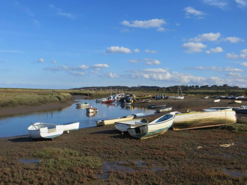
Day 2 route: Holkham – Wells next the Sea – Stiffkey – Morston (around 10 miles)
We completed this with a group of about 30 people during a weekend organised by Bedfordshire Walking Club. On this occasion we stayed with 10 friends in a small terraced cottage in Hunstanton.
We began the walk in Hunstanton and following lunch in the White Horse Pub, Brancaster, at the end of the first day, got the Coast Hopper bus back to Hunstanton.
The weather improved on the second day!
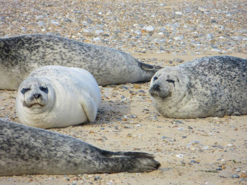
At the end of day 2, we took a boat trip out to Blakeney Point to see the seals!
October 2015
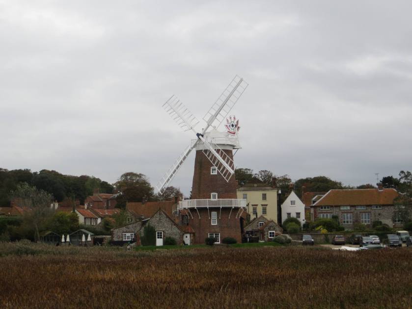
Day 1 route: Blakeney – Cley next the Sea – Gramborough Hill – Weybourne (around 10 miles)
Day 2 route: Weybourne – Sheringham – Cromer – Overstrand – Cromer (around 10 miles)
Our second weekend of the North Norfolk coast path was also organised by Bedfordshire Walking Club. This time we stayed in the YHA Sheringham.
December 2017
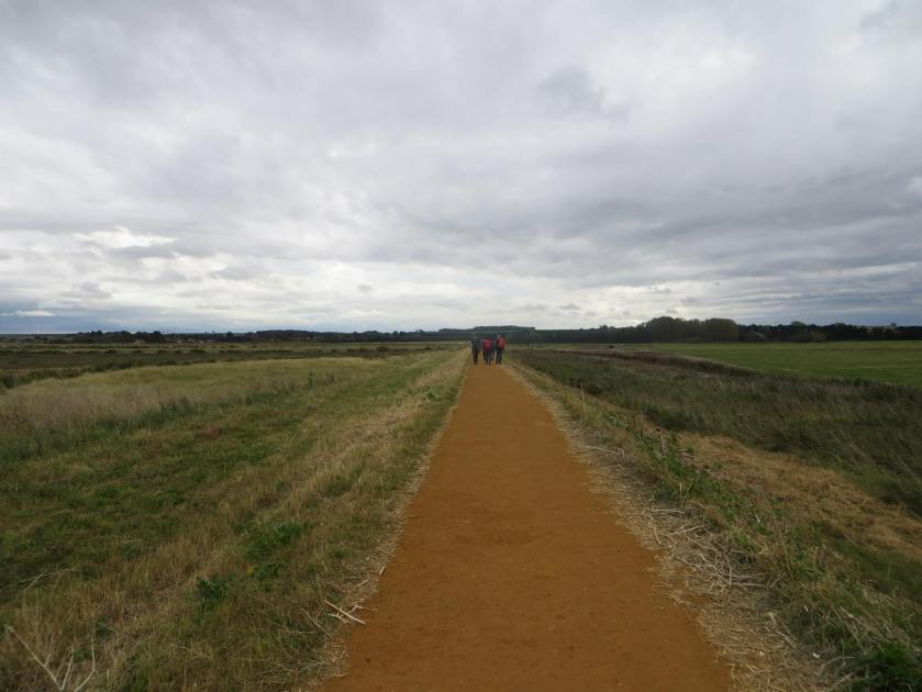
Route: Sea Palling – Eccles on Sea – Happisburgh – Walcott – Bacton – Mundesley (about 11 or 12 miles)
As we were staying in the Acle Travelodge we decided to start the walk at the endpoint and walk north instead of south!
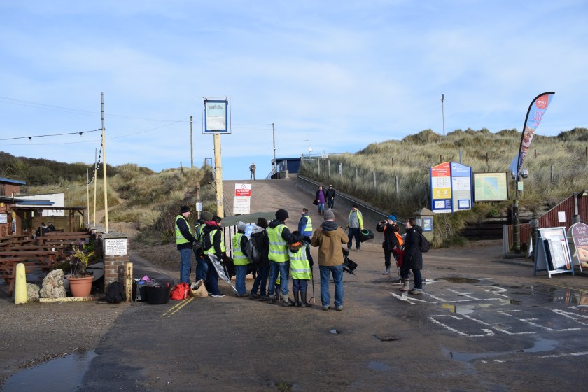
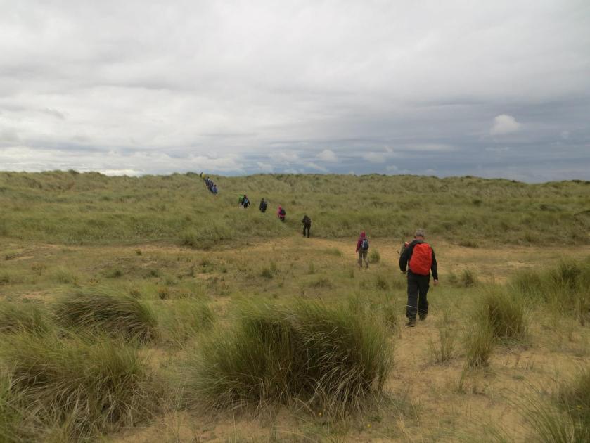
At the start of this section of the walk, we came across a group of local volunteers from the Marine Conservation Society (MCS) having a briefing just before they embark on a litter collecting session. What an awesome thing to do!
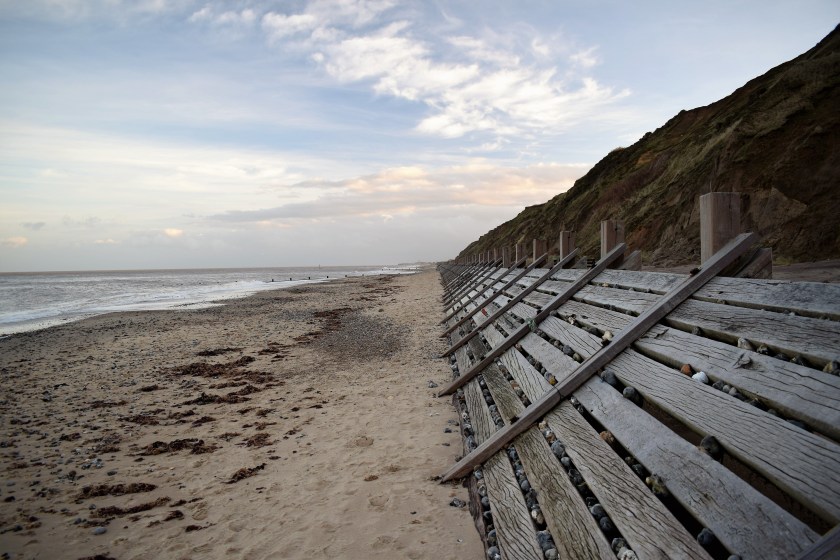
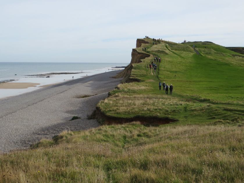
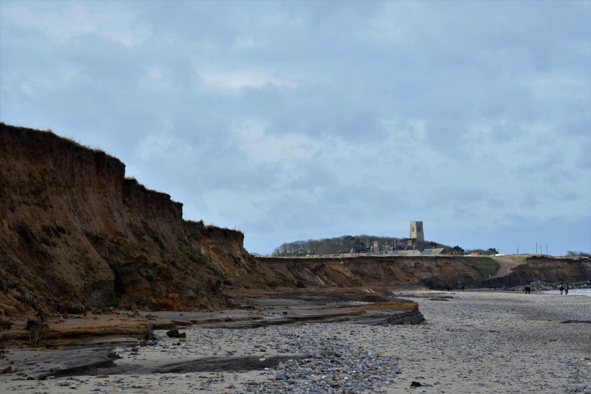
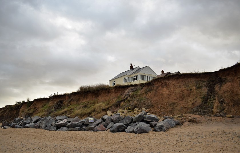
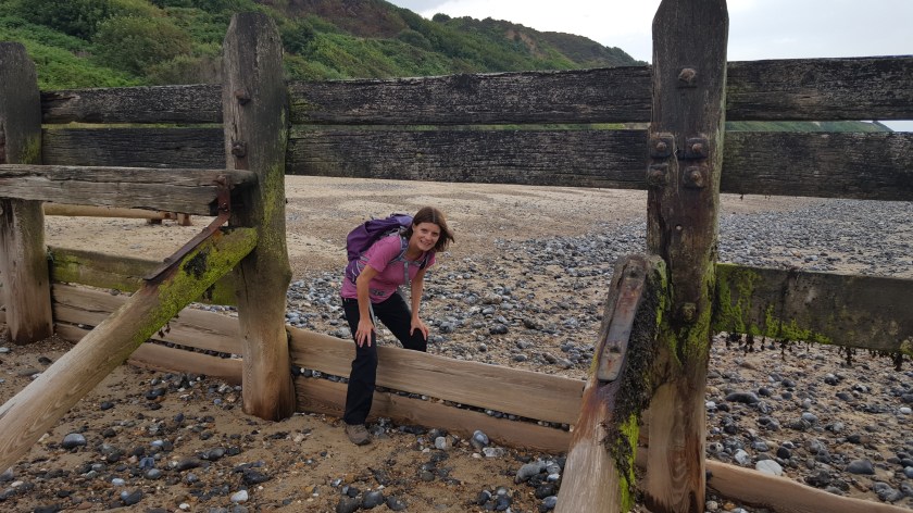
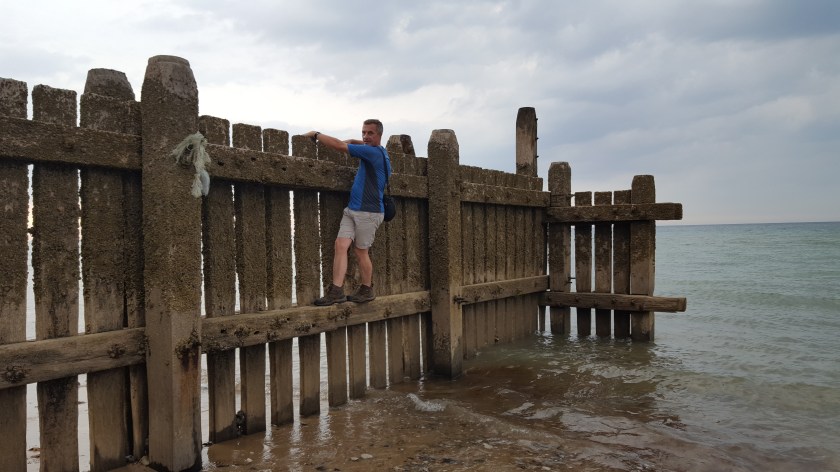
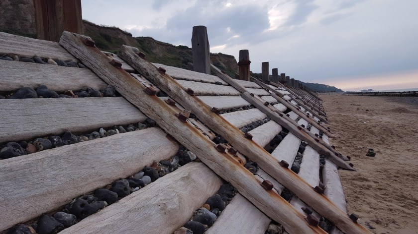
Coastal erosion is a big issue along this part of the Norfolk coastline and there are several types of flood defences.
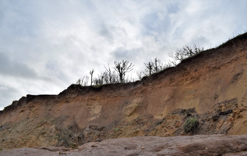
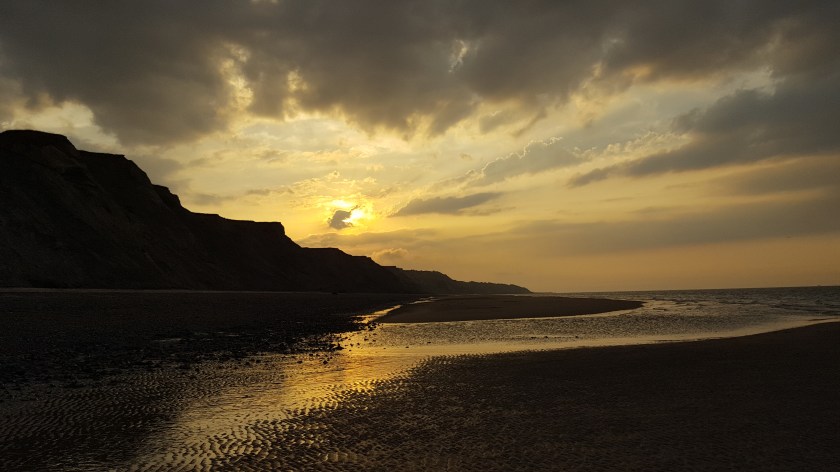
Landslides at Happisburgh (pronounced ‘Haze-bro’). A large section of the coast path fell just two weeks ago. Even as we walked past, we could see little chunks falling off.
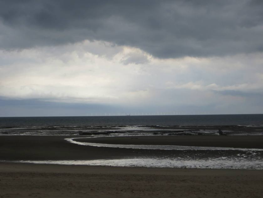
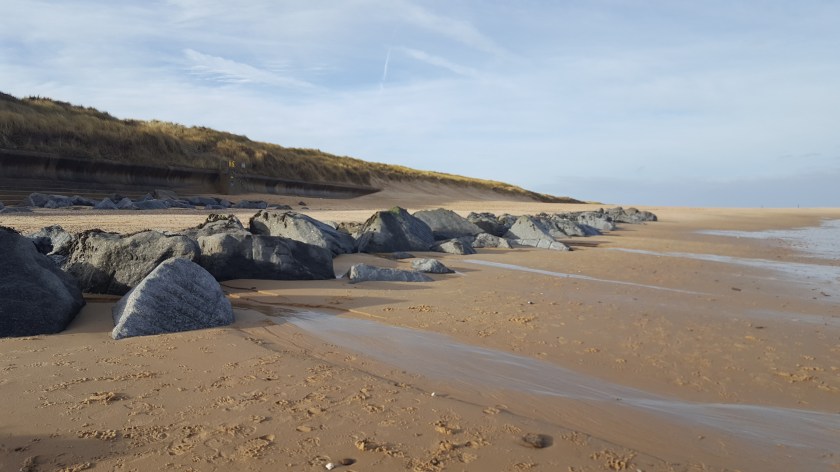
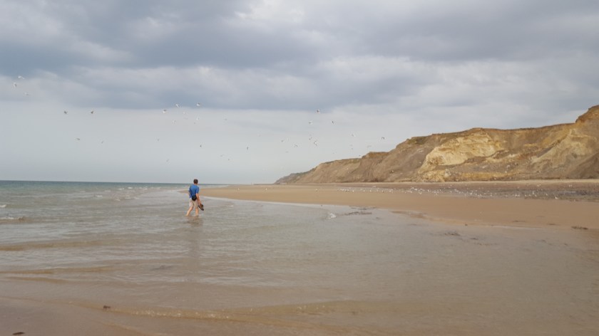
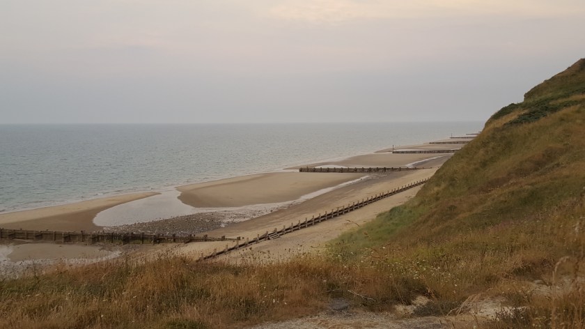
Other than a short inland detour just before Bacton (where the beach was inaccessible), we completed 99% of this walk along the beach. All was fine at first but we soon discovered that walking in soft sand with the wind in your face was actually hard work!
Thankfully we were able to walk along the concrete sections of the flood defences for part of the way and at other times the sand was firmer.
August 2018
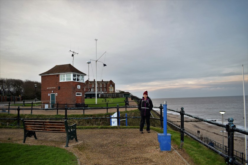
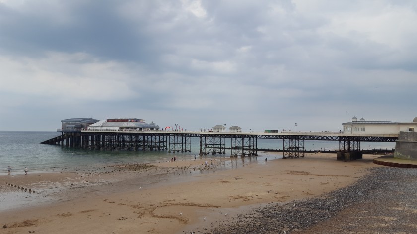
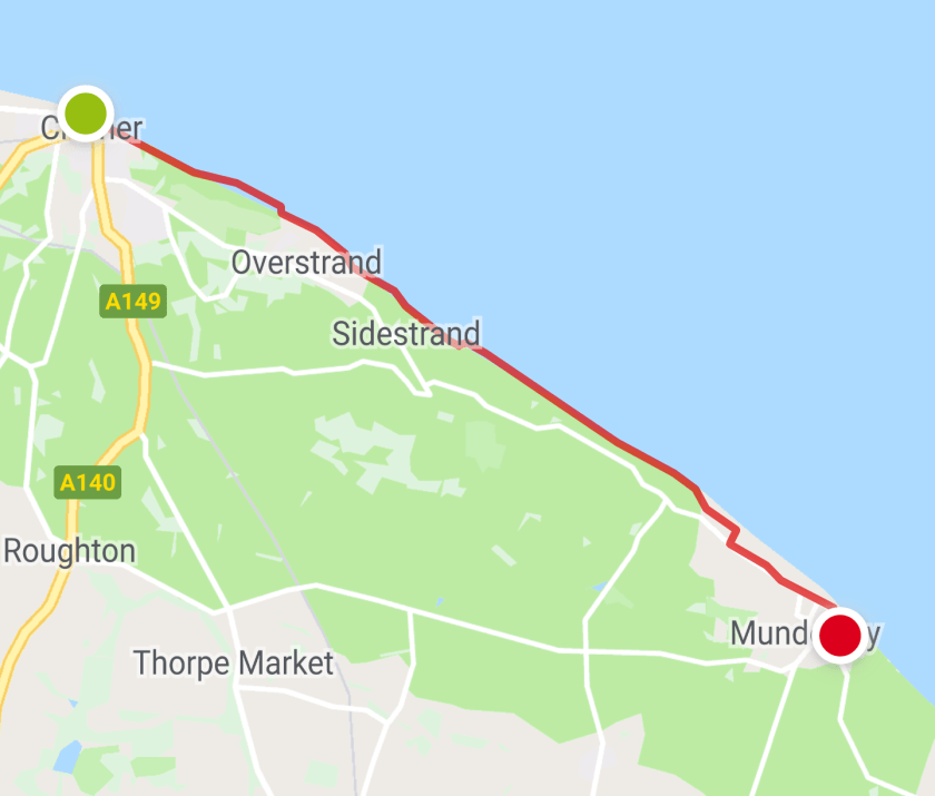
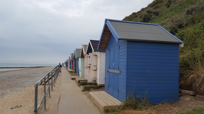
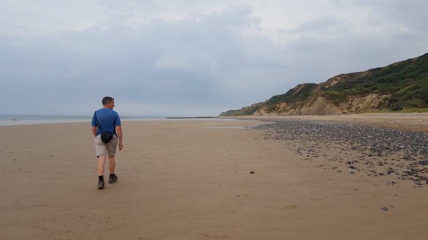
Route: Cromer – Overstrand – Sidestrand – Trimingham – Mundesley (7.5 miles)
This was an evening walk which began at Cromer Pier at around 6:30 pm. We were staying in Mundesley and had taken the Coastal Hopper bus from Mundesley to Cromer for around £2.70 each (we were able to pay by contactless card directly on the bus).

One comment