

We’ve just returned from a weekend in Lincolnshire where the first day was spent on a short trek immersed in the countryside of the Lincolnshire Wolds. The Lincolnshire Wolds were designated an Areas of Outstanding Natural Beauty (AONB) in 1973 and covers an area of 216 square miles. With a maximum height of 150 meters, this is the highest ground in eastern England between Yorkshire and Kent.

At only 4.5 miles, this is a short and fairly easy walk. It began at the Bluebell pub in Belchford where we were fortunate to arrive at 11:30 am, just in time for opening hours! After a quick drink to set us on our way we headed off along Main Road with the pub behind us.
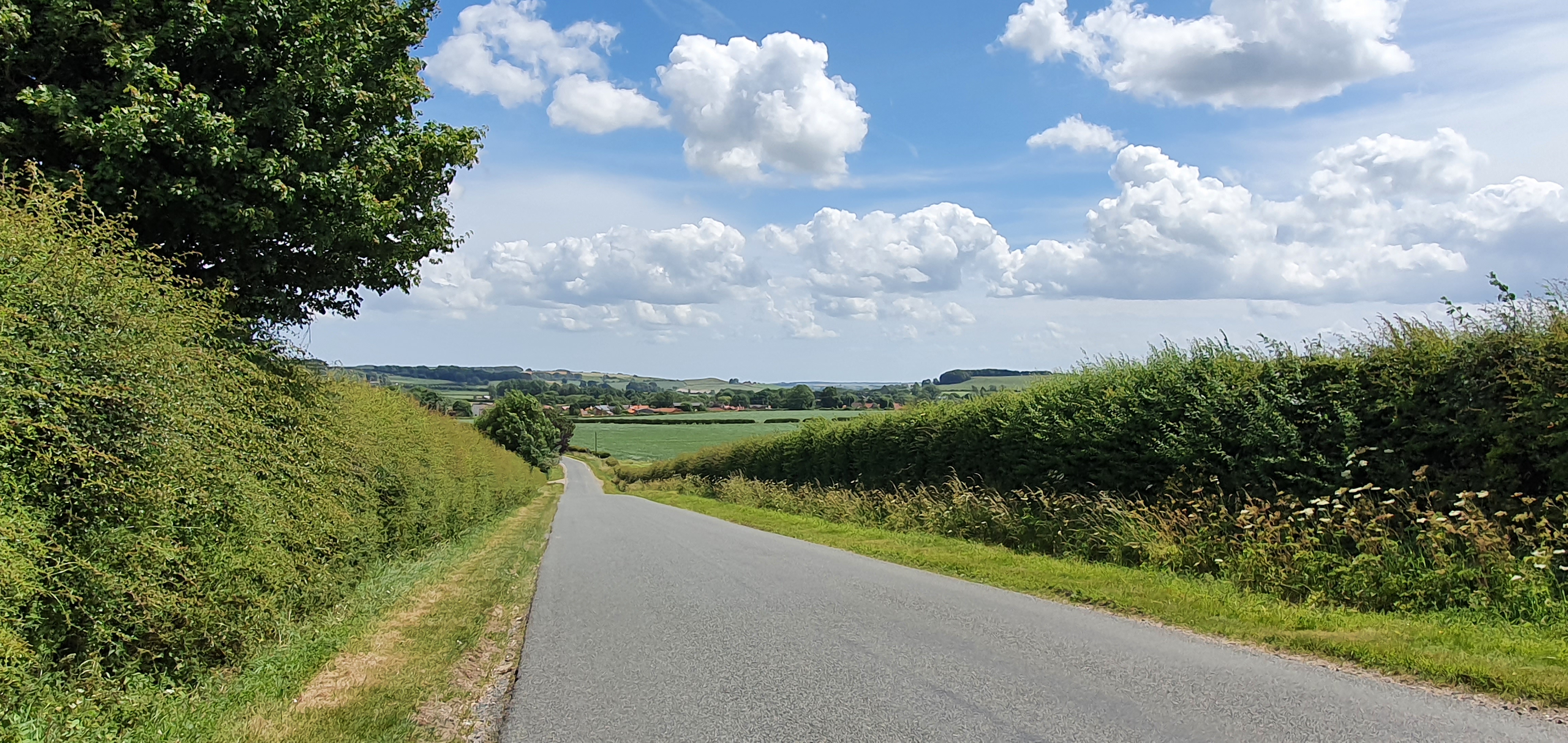
This road wasn’t overly busy and fortunately there was a grass verge to step onto whenever a vehicle passed by.
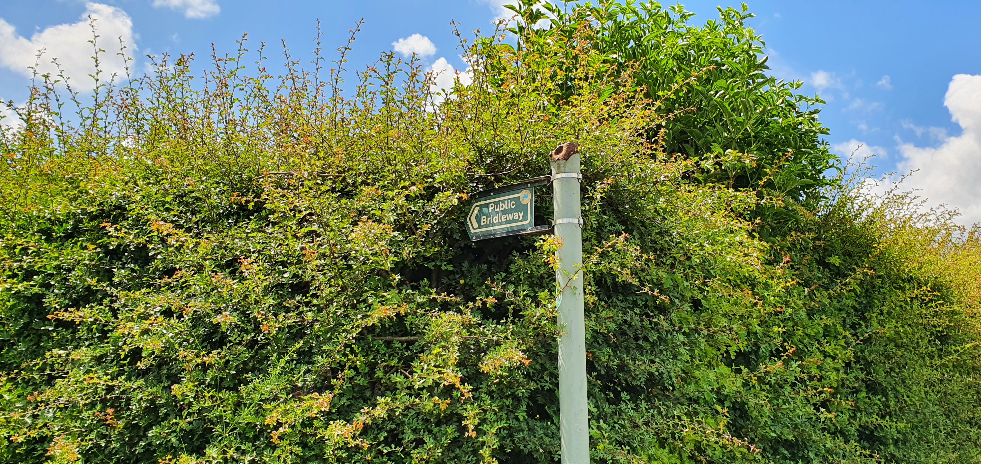
After about a mile, there is a turning on the left along a bridleway. We used OS maps to keep us on track and ensure we didn’t miss the turning.

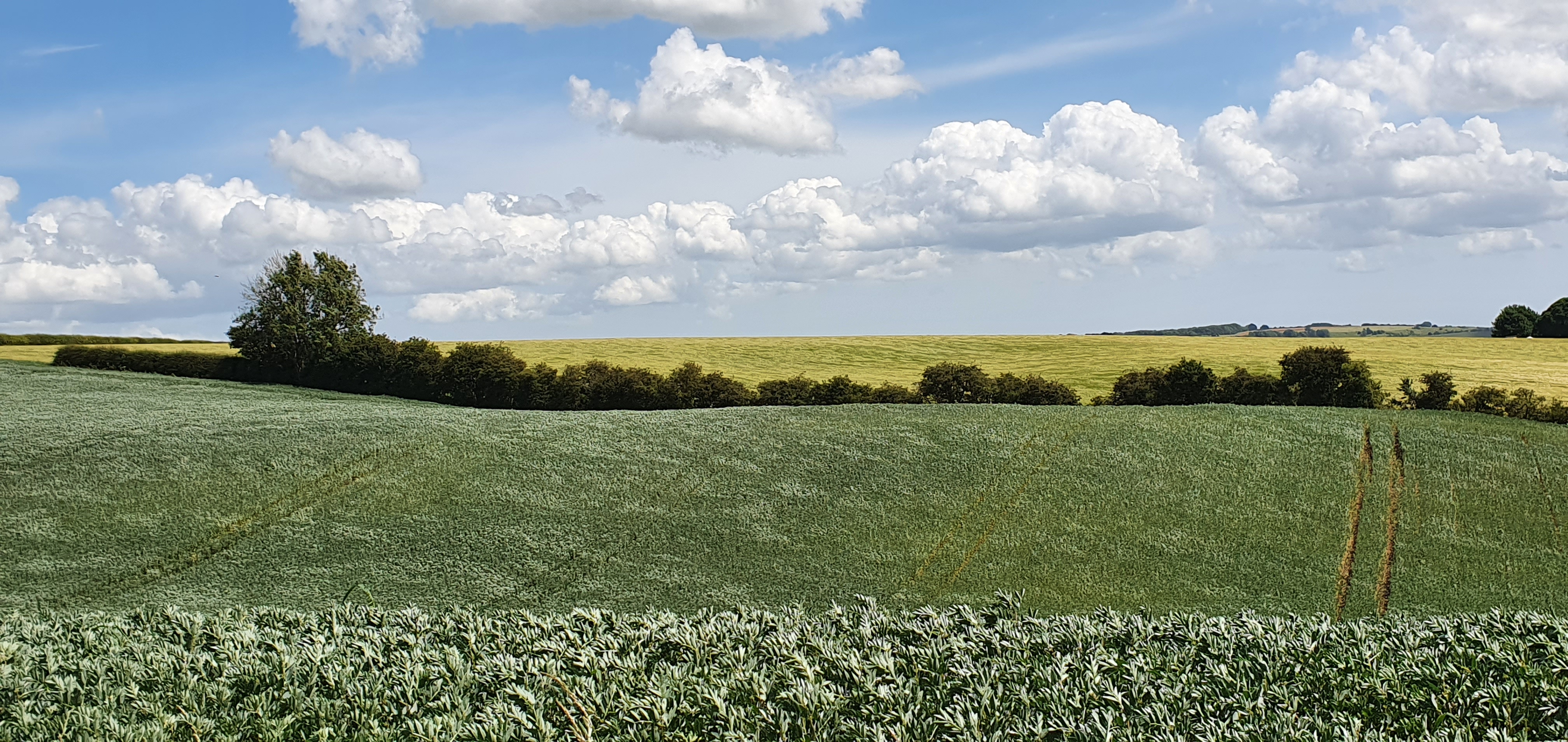
We continued along the bridleway past fields of broad beans.

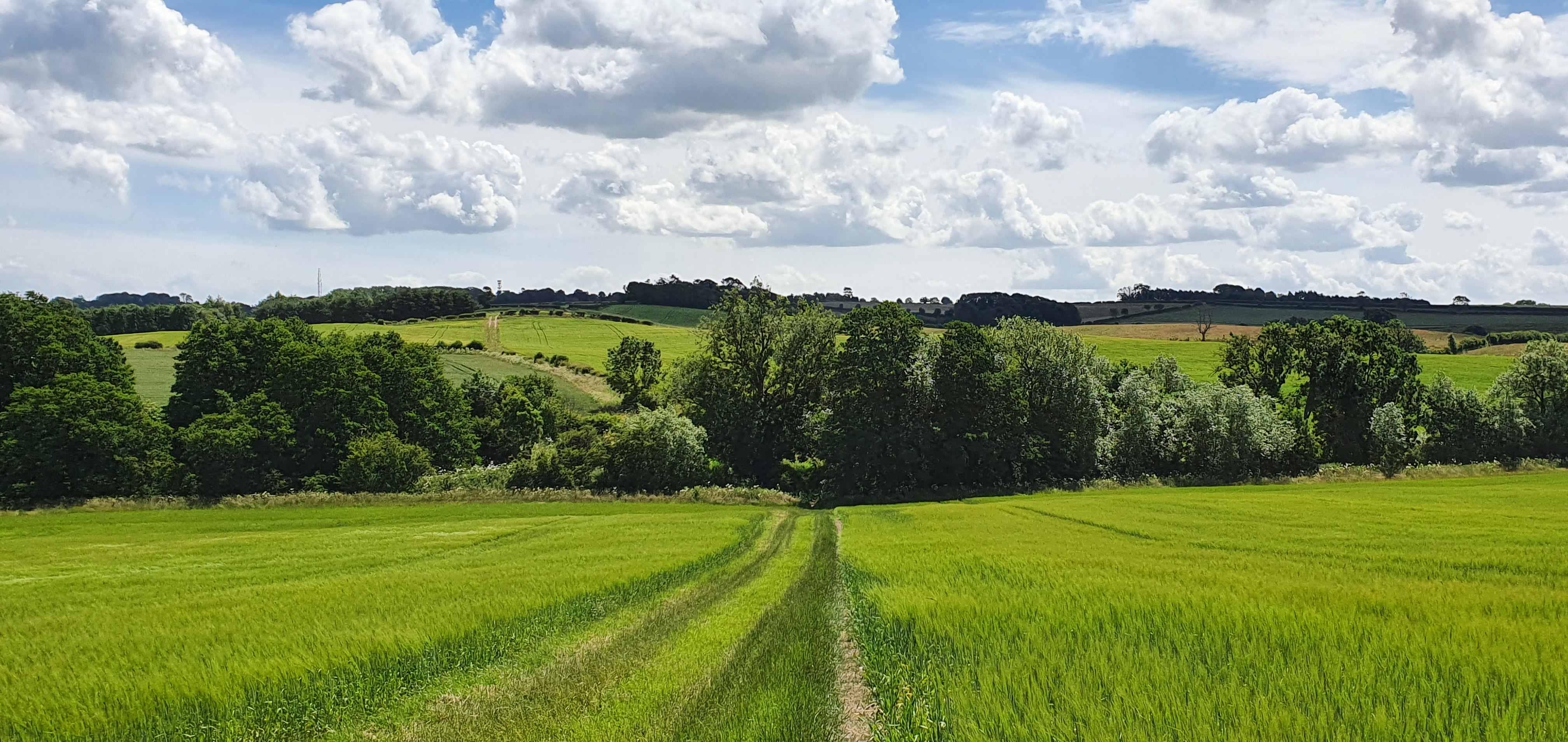
Continuing along the bridleway
Towards a small stream where you cross over a bridge.
Looking back at the bridge we just crossed over.

There is a large ash tree on the left just over the bridge which is the home to tawny owls.
From the bridge we headed uphill towards Fulletby where we passed conifers on the left.

Shortly after the conifers the bridleway ended and we came to a road (Hemingby Lane) where we turned left towards Fulletby which, at 137 m above sea level, is one of the highest villages in Lincolnshire.
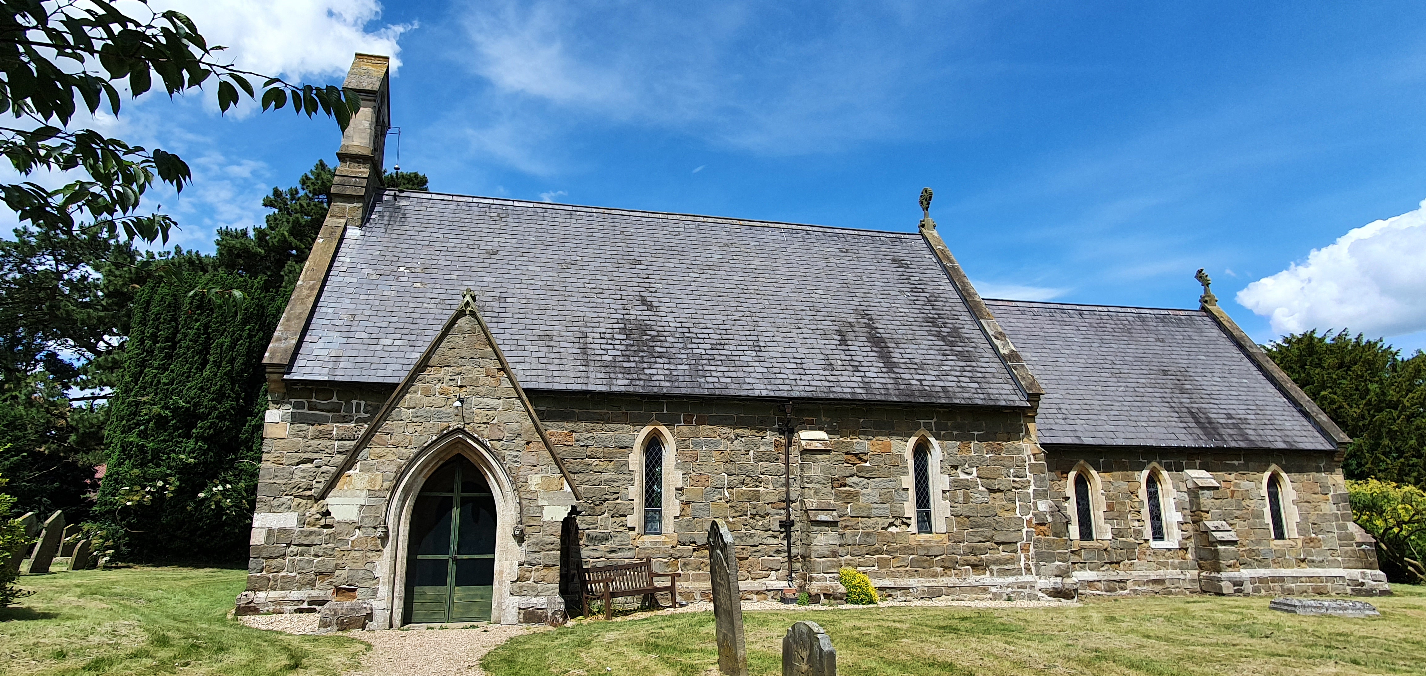
As we passed through Fulletby we turned left down Mill Lane which is straight after a garage. The road bends to the right and you will see the church on your left. We then turned left along School Lane and came to ‘private road’ where we turned right into the footpath.
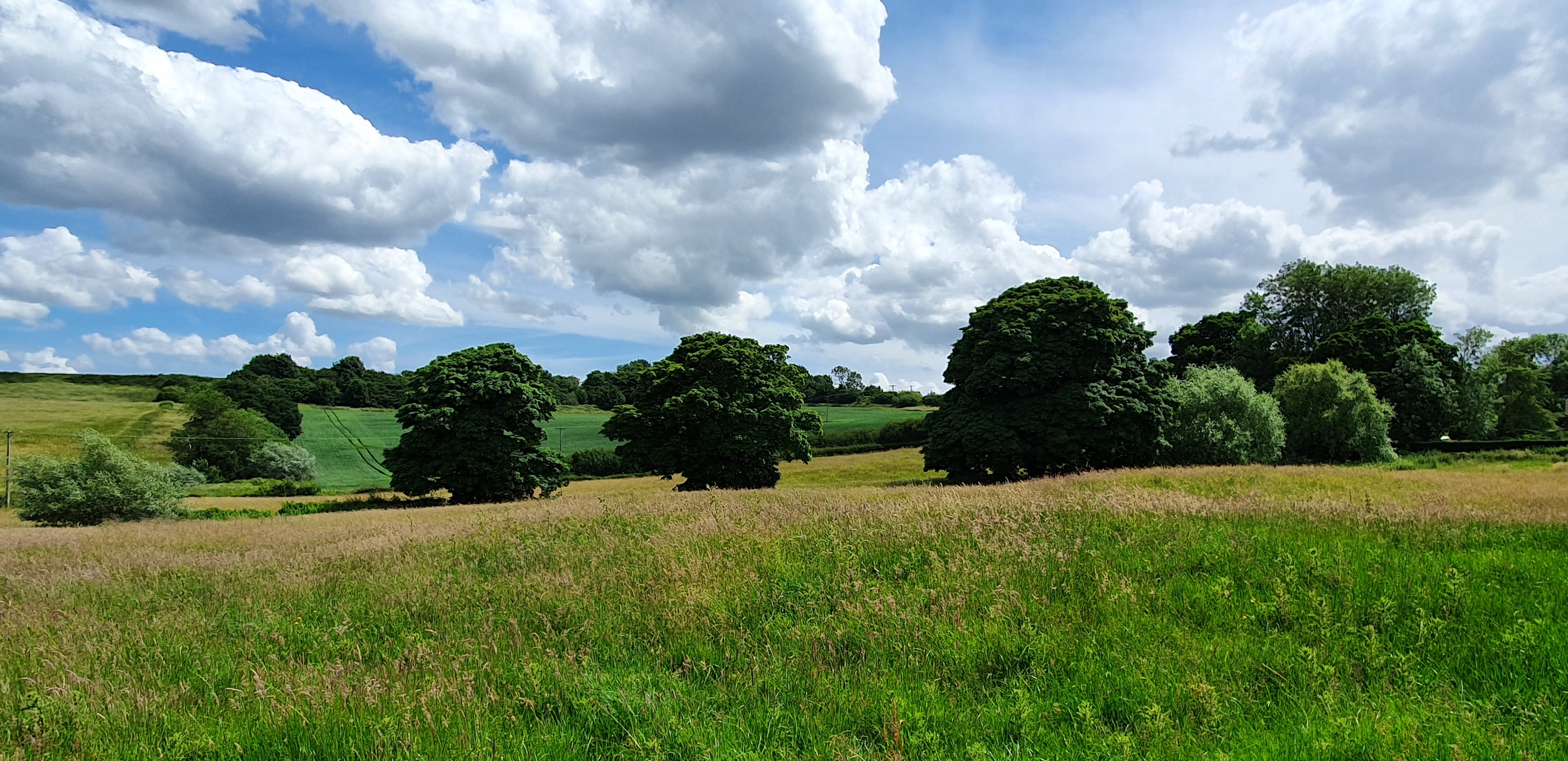
The footpath took us across a lumpy meadow which is apparently the remains of medieval Fulletby which was previously much larger.

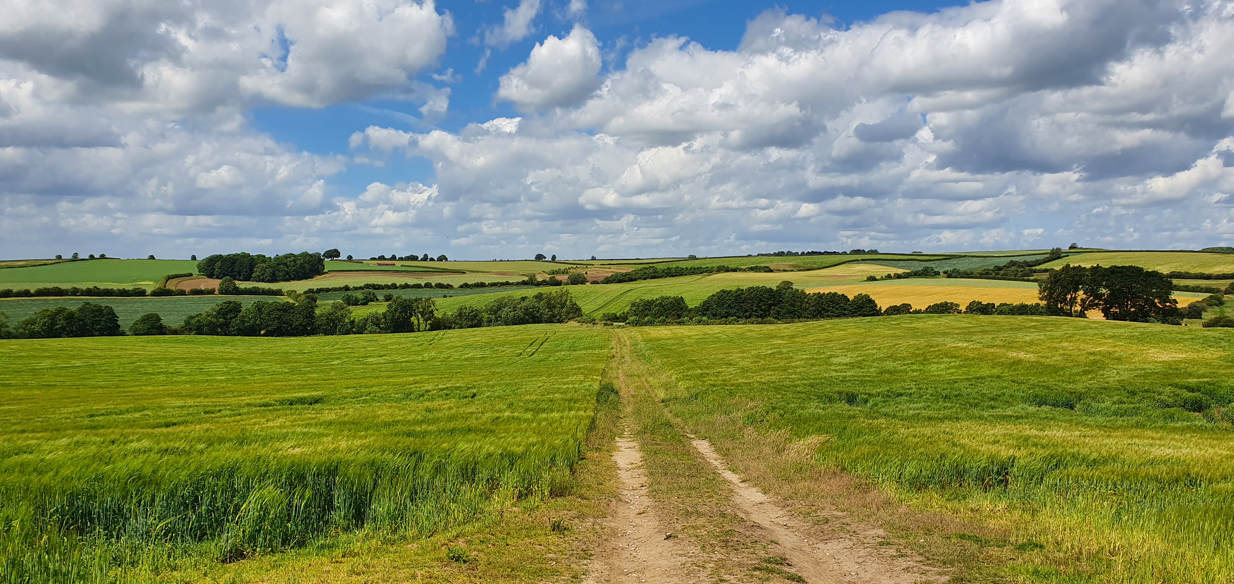
We passed through sheep fields and a gate and at the highest point we could just about see Lincoln Cathedral in the distance although it isn’t really possible to make out from the above photo!

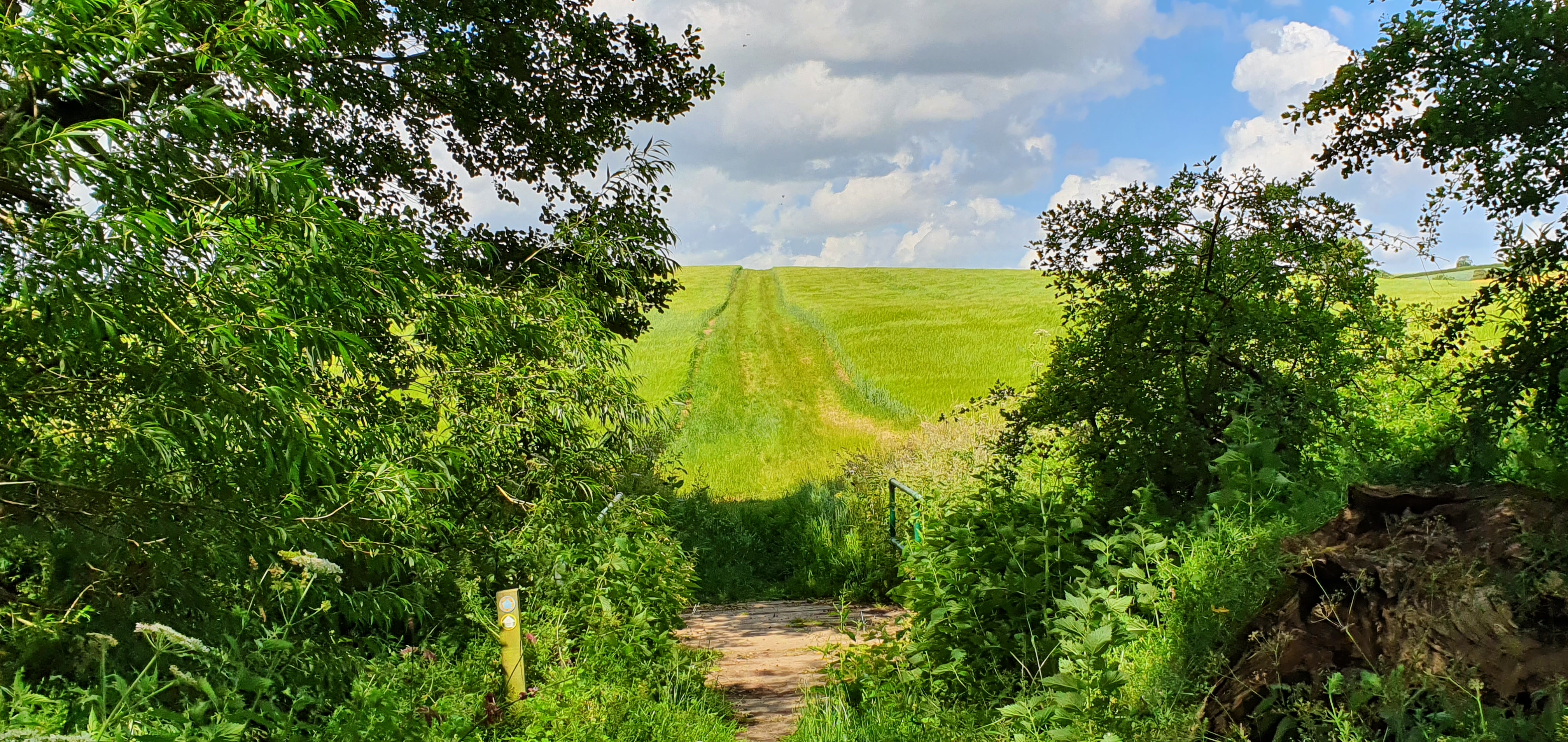
Keeping the hedge on our right we continued as we followed part of the Viking Way, which we had done so since just before entering Fulletby. The Viking Way (shown as the yellow way marker on the post above) is a 147 mile long distance footpath which runs between Oakham in Rutland to the Humber.
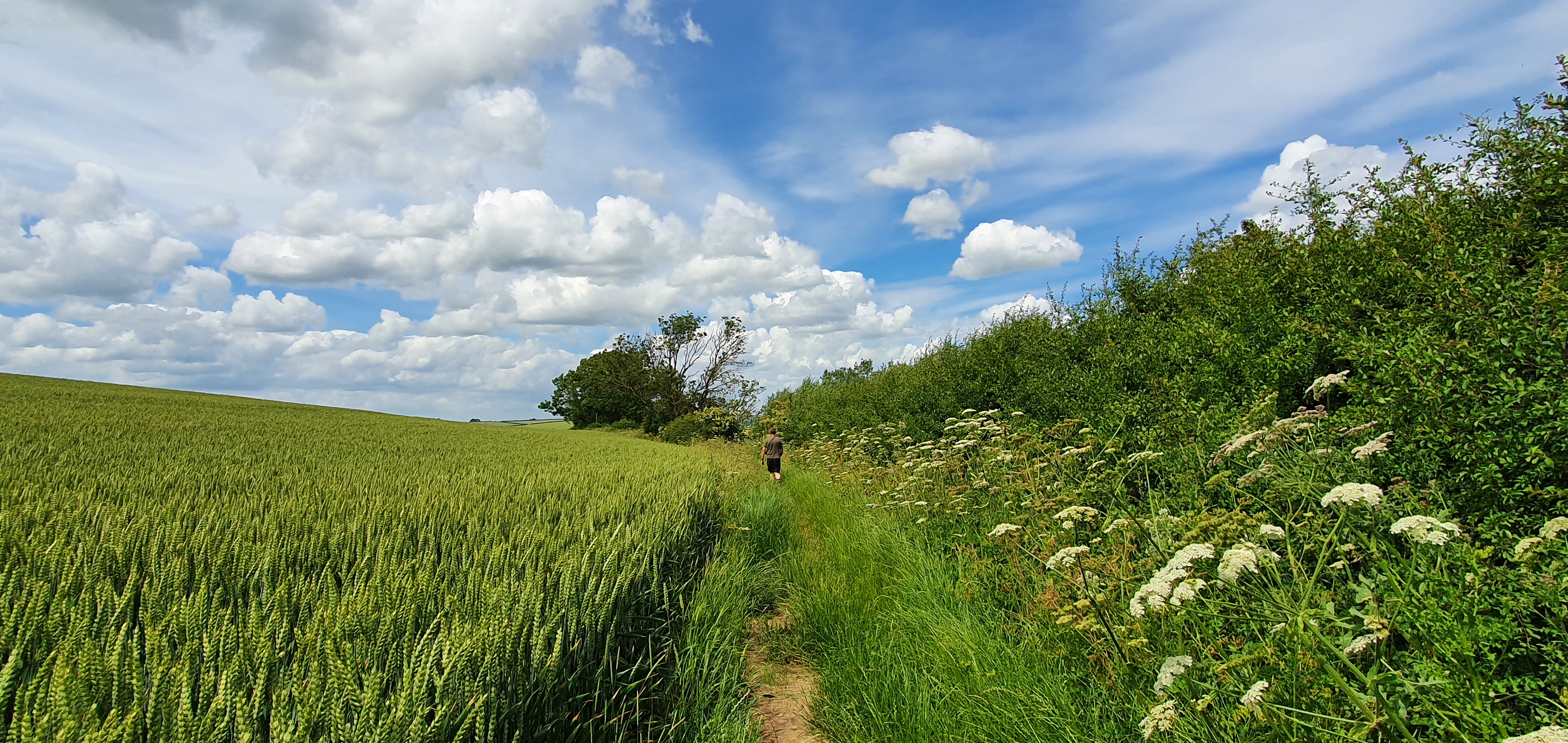
Still keeping the hedge to the right the footpath became quite overgrown along this stretch.

For the final section of the walk we turned right at a signpost and Belchford came into view. We continued to follow the signs for the Viking Way which led us straight back to the village and the pub.
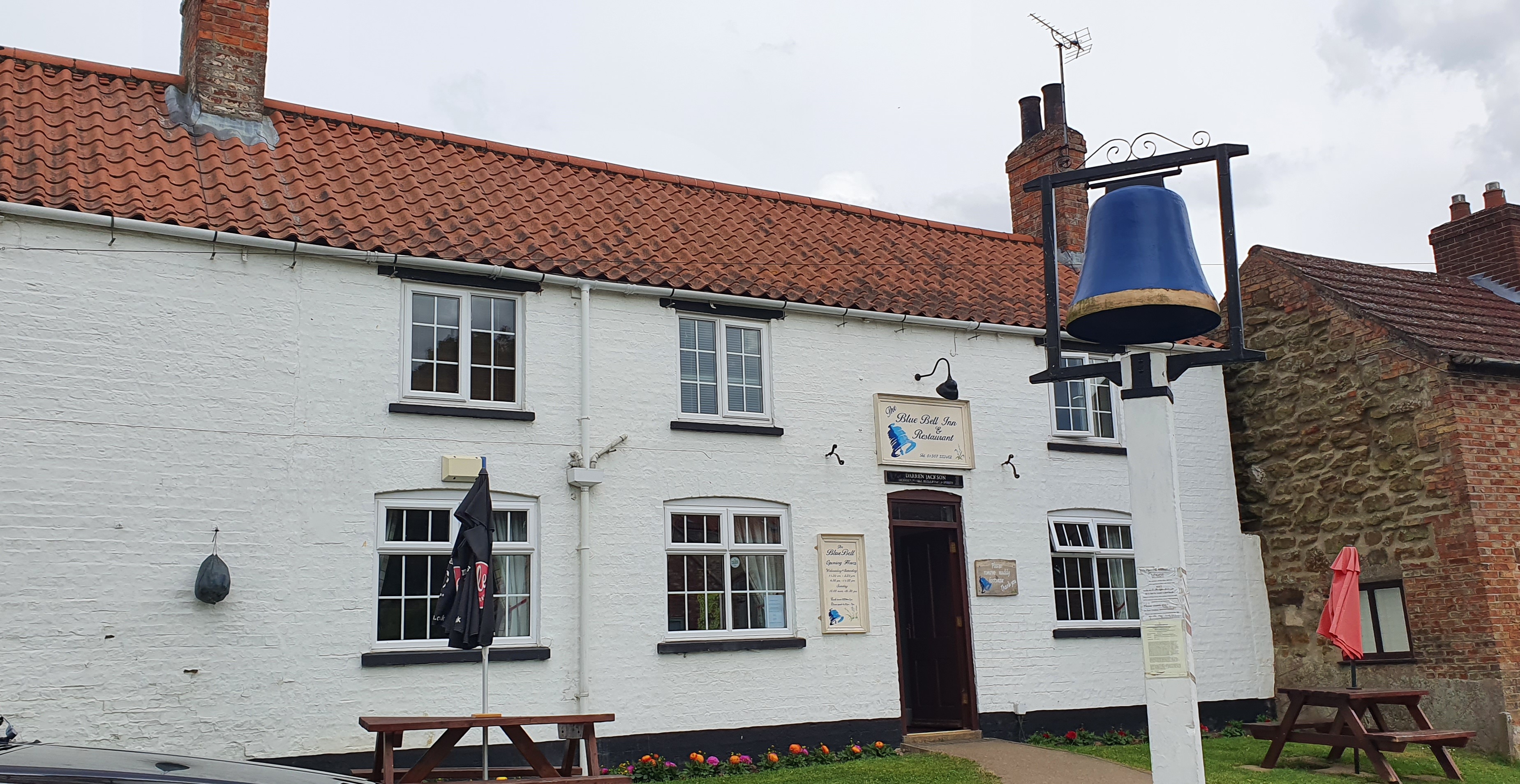
We completed this trek in under 2 hours and thankfully the pub was still serving lunch! The food and hospitality was excellent and we would highly recommend a visit if you are in the area.

One comment