
Following our full day in Finland, we decided on a shorter trek the next day and drove for 35 minutes to Blåisvatnet, the Blue Lake.

Rain was forecast and the weather was cloudy as we set off to Sør-Lenangen, the location of the Blue Lake.

We parked in the Blaisvatnet car park which is usually paid for by using either EasyPark app or with a card. On this day card payment didn’t seem possible and I’m not entirely sure if the payment went through properly on the app either.


We followed the red way markers towards the lake which acted as a guide to the least rockiest parts of the path. These were red painted stones this time.

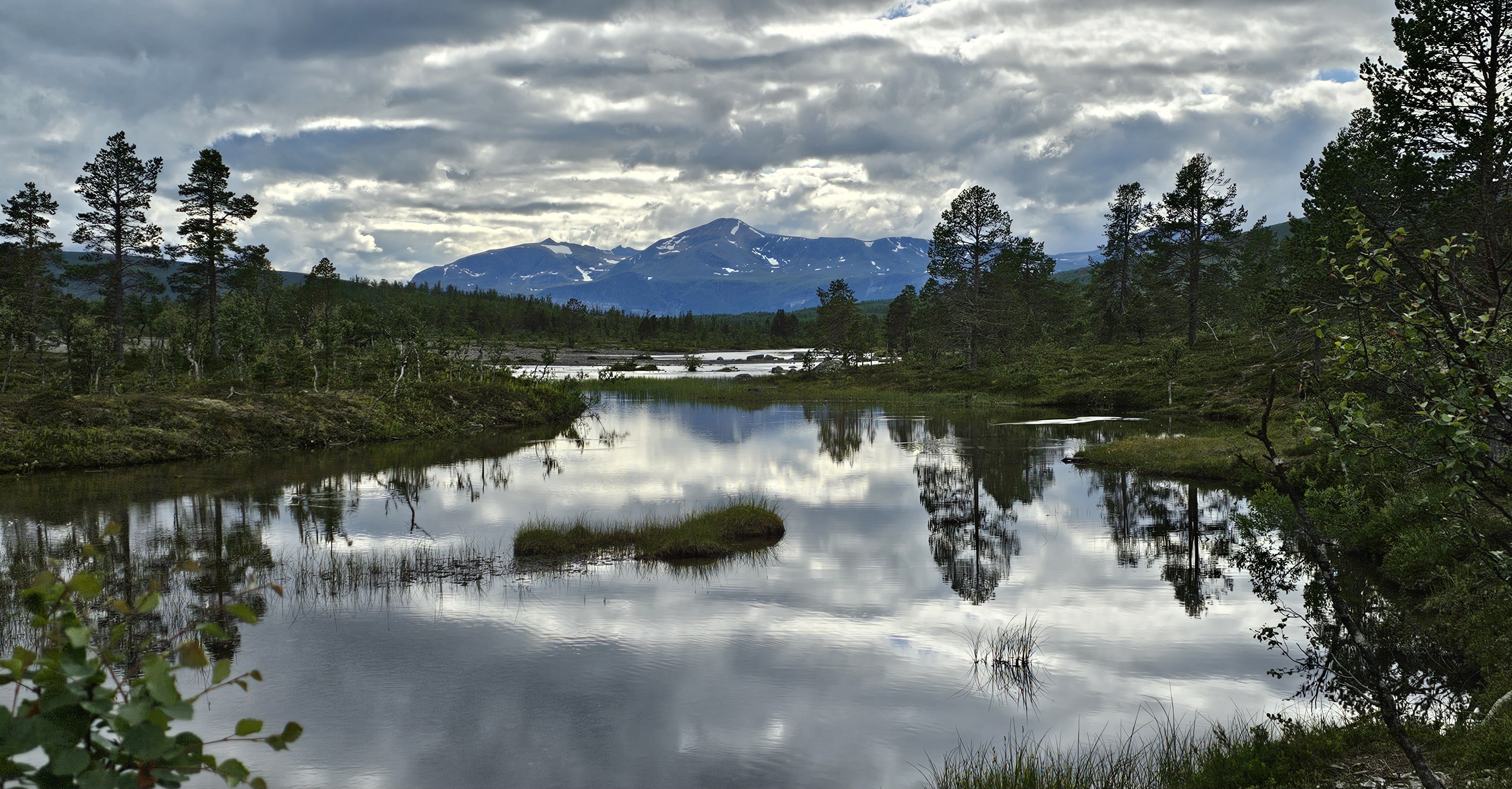
Except for the woodchip path at the beginning, entire walk was over stones. We continued walking for 4 km with the Lenangsbreen Glacier ahead in the distance.

Near the Blue Lake we had to scramble over rocks next to a large pond.

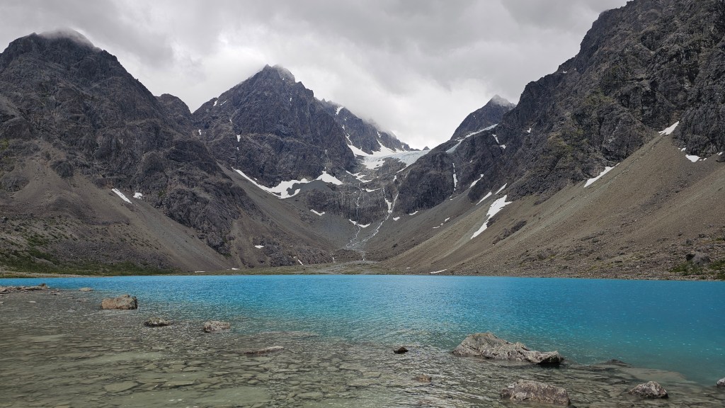
We reached the Blue Lake which was incredibly… blue. This is one of the regions top Instagram spots!
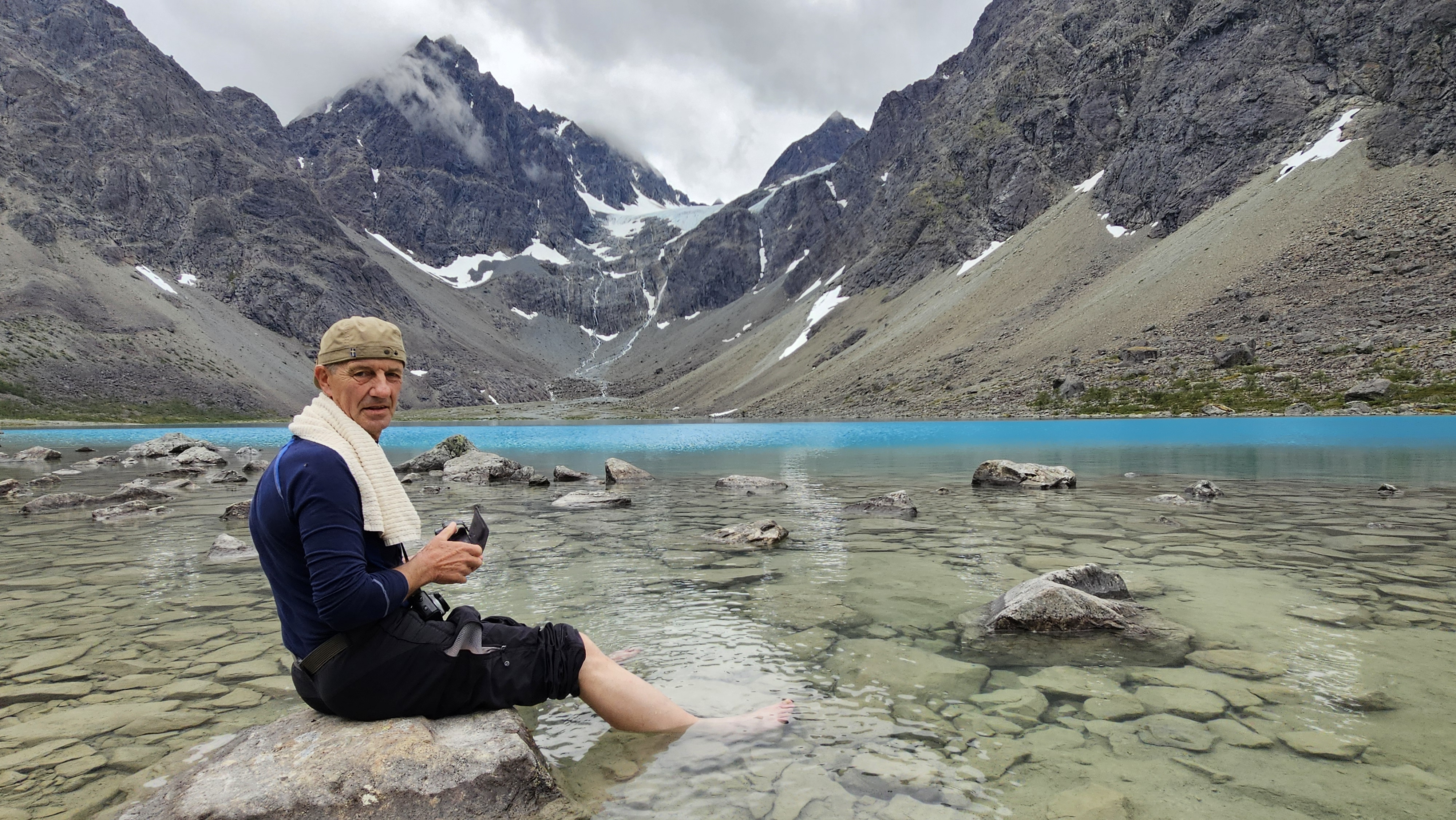
The water was icy cold… apparently.
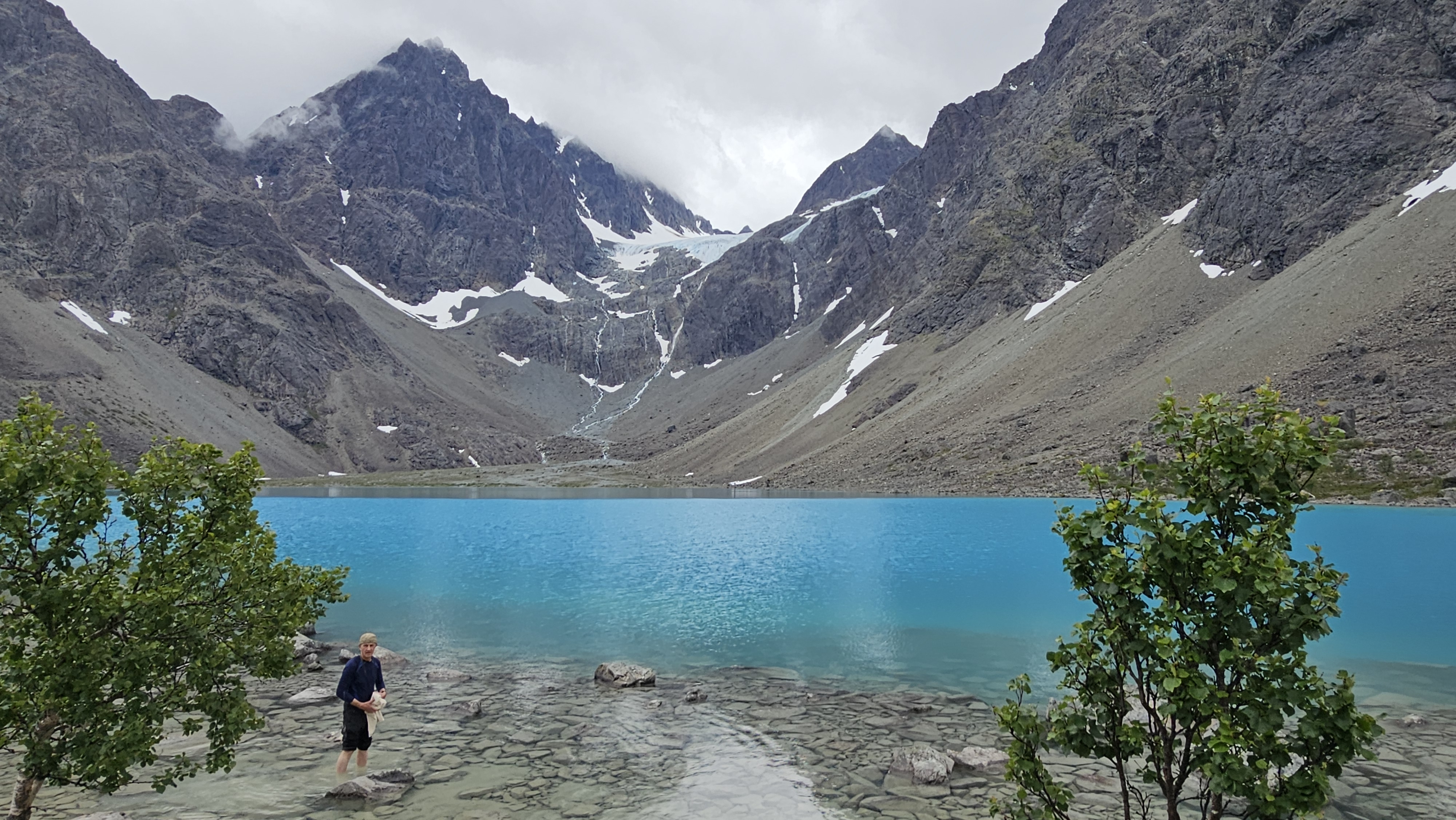
Blaisvatnet (Blue Lake) has an altitude of 189 m and gets its blue colour from silt particles from the Lenangsbreen Glacier.

Hurrah! On our way back along the stony path the clouds began to break up and a patch of blue sky appeared above the glacier!

Summary
This was a relatively short walk and with 4 km each way of continuous stones to walk on it was tricky and uncomfortable. However, even in cloudy weather this was one of the bluest lakes we’ve ever seen.
And thankfully no rain again today!

One comment